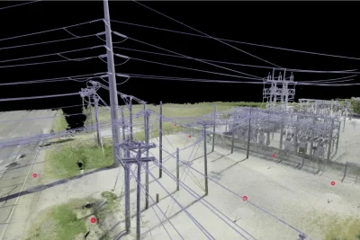
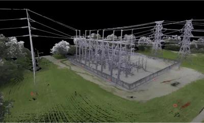
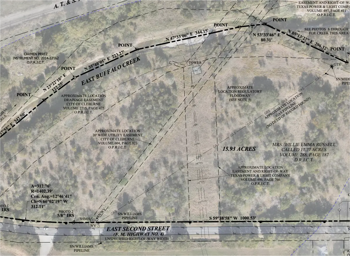
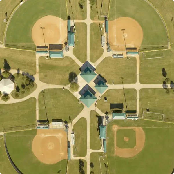
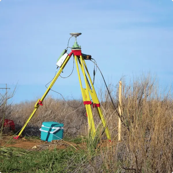
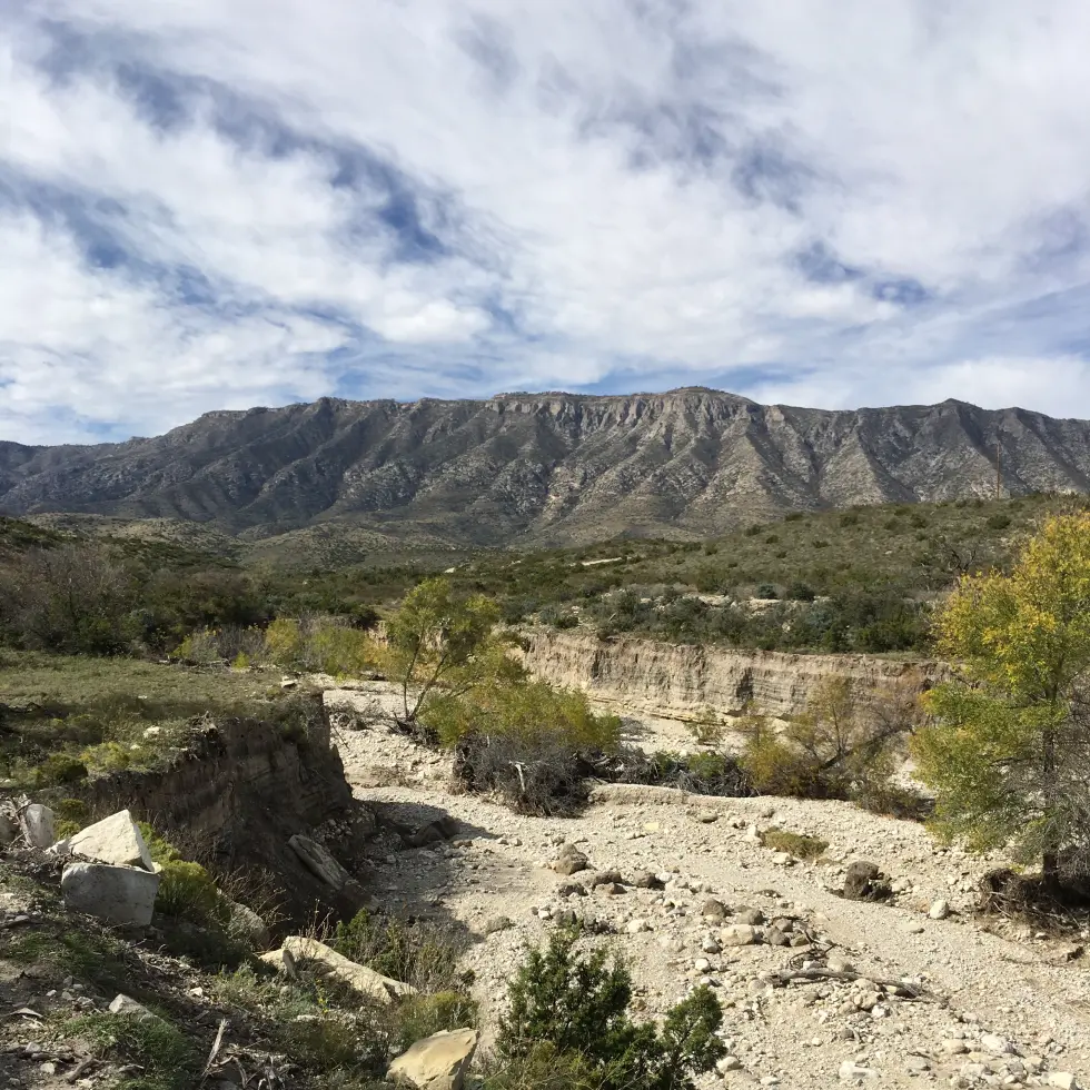
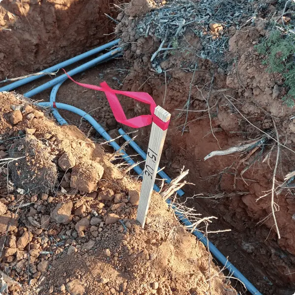
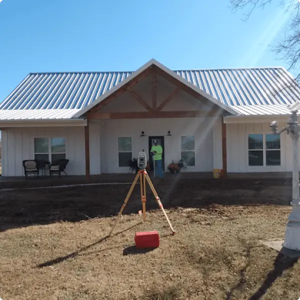
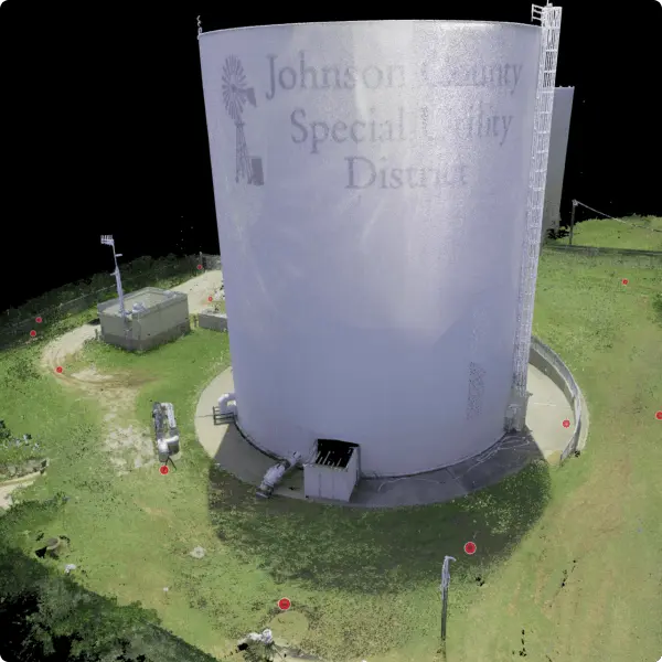
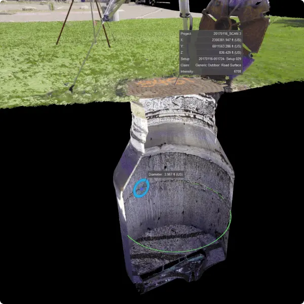
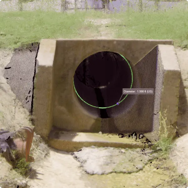
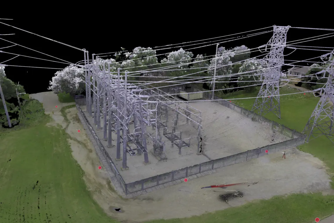
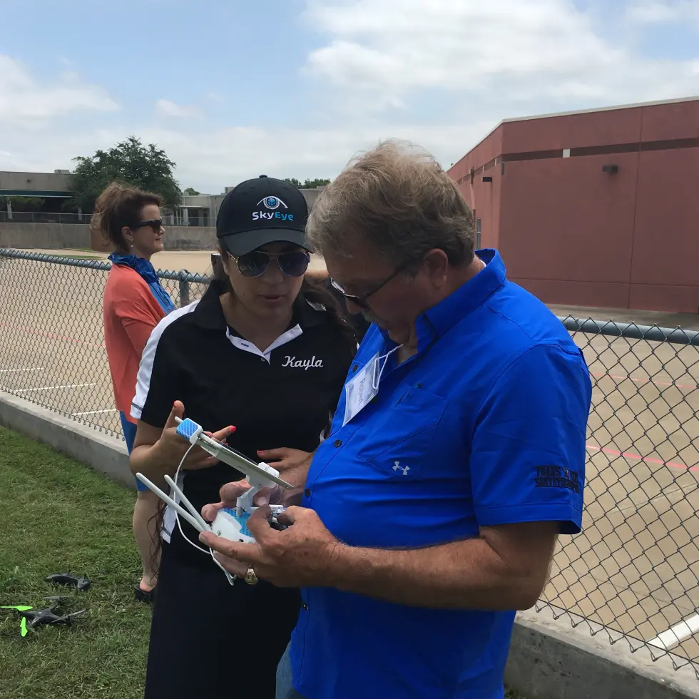
Our advanced drone technology provides accurate, detailed mapping and surveying data. As a result, we are able to offer high-quality solutions to a variety of industries.
This video will walk you through using Leica TruView software. Use the buttons below to download the Leica TruView software and the TruView PDF tutorial.
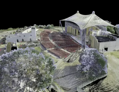
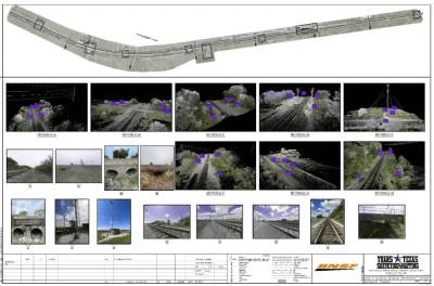
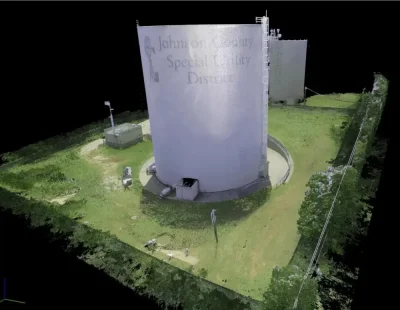
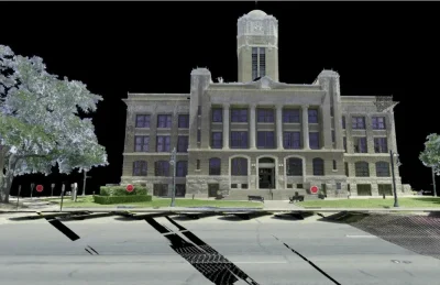
We are dedicated to staying at the forefront of technological advancements in our field. With our industry-leading equipment, we can efficiently capture a vast amount of high-density data in a remarkably short time. This capability allows us to provide deliverables in a wide range of formats tailored to meet your specific needs.
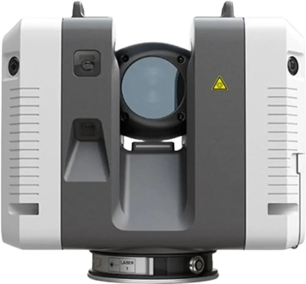
High-quality scans are created quickly with high measuring rates and advanced HDR imaging
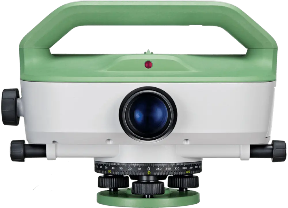
Auto Level
Leica LS15
The industry leader in automatic digital leveling providing reliable results with 0.2mm accuracy
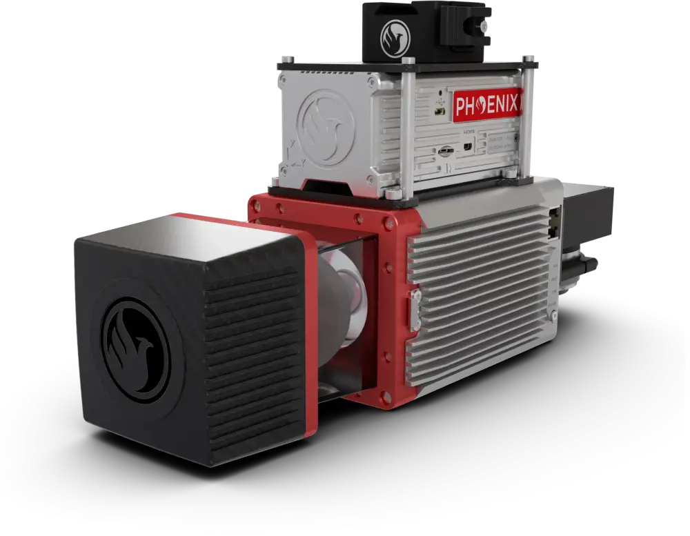
Lidar
MiniRANGER-3 Lite
Acquires survey-grade LiDAR data and high resolution at up to 100 m operating flight altitude
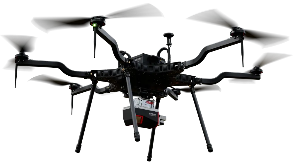
Drone
Carrier H6 Electric
Harris Aerial H6E’s flight duration makes it perfect for large area mapping
Texas Registered Land Surveyors
Our daily Land Surveying and Mapping work is regulated by the Texas Board of Professional Engineers and Land Surveyors, which we are proudly in good standing with as a company. We have one Texas Registered Professional Land Surveyor and a highly qualified field and office staff working full time to meet your specific needs.
TxDOT Pre-Certified:
Group 15 – Surveying and Mapping
15.1.1 Right of Way Surveys
15.2.1 Design Survey
15.2.2 Construction Survey
15.3.1 Aerial Photogrammetry
15.3.3 Terrestrial LiDAR
15.3.5 Horizontal & Vertical Control
15.3.6 Airborne LiDAR
Group 20 – Marine Vessels and Facilities
20.7.1 Hydrographic Survey
Our mission is to maintain our status as the go to surveying and mapping firm in Johnson County. We want to be leaders in both innovating new methods, as well as sharpening the methods used today.
Press & Media
We’re passionate about advancing surveying knowledge and sharing insights with other professionals in the field. Explore our collection below to see how we’re contributing to the conversation.
Hired them to survey some land..price was good and work was done quickly..would definitely use again
Laura Korderas
Google Review
5.0
Great company and great people to work with! Reasonable pricing, highly recommend!!
Rich Sikes
Google Review
5.0
Trans Texas is our go to for all of our surveying and re-platting needs. Angie and Laura are always friendly, helpful and professional.
Tony Gosdin
Google Review
5.0
They can get the job done and get it done quick. As a contractor, these guys(and gals) are most definitely our go to surveyor for the foreseeable future.
Richard Gano
Google Review
5.0
Trans Texas Survey is the best. They went out of their way to help me with a much needed form survey for a new house build.
Nancy Naranjo
Google Review
5.0
They are great! From the guys in the field to the people in the office! They are very reliable and delivered as promised.
Contact Us Today
If you have any questions or are interested in our services, please call our office (817-556-3440) or use the button below to fill out our contact form.